I categorized this post as “Travel” because we had to travel for 23 minutes from home to reach the Deer Valley Petroglyph Preserve. It’s run by Arizona State University (ASU) and preserves over 1500 petroglyphs. A petroglyph is an image formed by chipping away “desert varnish” that covers rocks. It’s not a hieroglyph which is a language. It’s not a petrograph which is painted on a rock surface.
We’ve visited other petroglyph sites: newspaper rock in the Petrified Forest National Park (blog), the Petroglyph National Monument in Albuquerque, and El Morro National Monument (blog).
The Preserve was created when the encroaching Adobe Dam was built. Like many of our dams this dam does not back up a reservoir; it prevents heavy rain runoff from flooding the houses below. The spillway runs right under the museum into Skunk Creek… which once ran part of the year, but now only in heavy rains.

-

- This was the original sign, but not its original location; it’s only a quarter mile to the petroglyphs from the museum.

-

- A small museum and gift shop features some interesting facts and displays. Pit houses are also in the area but not accessible.


-

- With all our drought-ending rain this year, the wildflowers will be magnificent.

-

- The trail includes a rattlesnake crossing sign and this sign.

-

- Somewhere up in the hills are some lookout caves (not accessible).

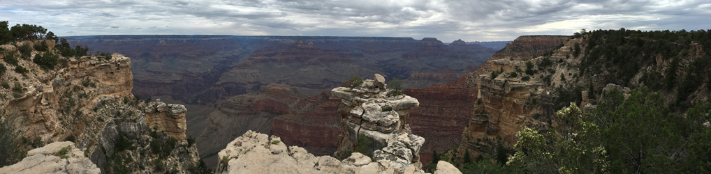
These were taken in the afternoon. A better time for photography would be first thing in the morning because the sun would be in a better position. And I should have brought the telephoto lens.
ASU partners with other prehistoric preservers including studies on Perry Mesa in the Aqua Fria National Monument. That’s on my list to visit.